The island of Porquerolles
Off the coast of southern France, at the same latitude as Cape Corse (43° N), the island of Porquerolles is a listed site since 1988. It has many superb hiking and bike trails, stunning sandy beaches and great vista points along the southern cliffs facing the Mediterranean Sea. The island also enjoys a temperate climate adding to the charm in all seasons.
With a surface area of 1254 hectares, it offers a total of 70 kms of trails for you to explore and enjoy.
To preserve our fragile natural heritage please respect the rules and regulations in force on the island.
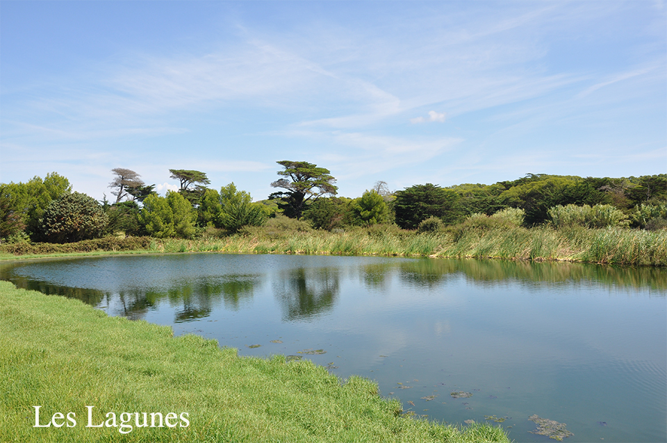
The Lagoons
Water from the Porquerolles water treatment plant is organic and flows into a system of 3 cascading lagoons, where it is subjected to a second purifying process.
The sun’s UV rays destroy the bacteria in this one-hectare water basin (lagoon 1: microphytes, lagoon 2: mixed microphytes and macrophytes, lagoon 3: macrophytes).
The third lagoon is bacteriologically clean, not drinkable but comparable to good quality water to swim in.
The lagoons serve to reclaim a non-negligible quantity of water that is used for agriculture, crops, horticulture and forestry.
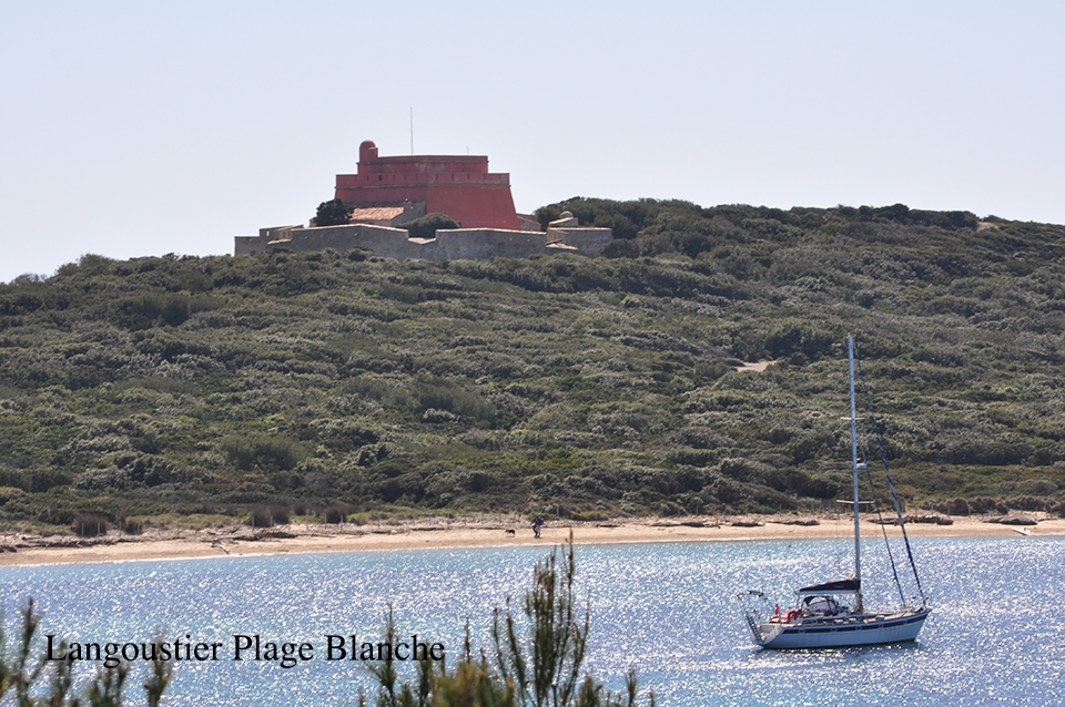
Plage Blanche - White Beach
The isthmus that leads to the peninsula has beaches on either side.
One is called "Plage Blanche" (white beach), as opposed to Port Fay, the "black beach" which is situated on the other side of the peninsula where an old caustic soda factory used to discharged slag in the 19th century.
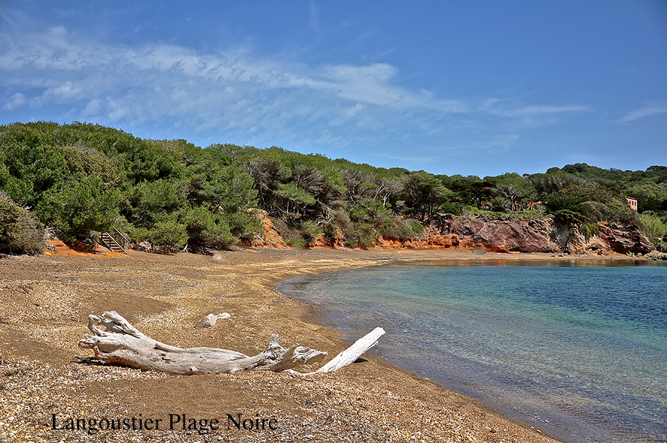
Plage Noire - Black Beach
The isthmus that leads to the peninsula has beaches on either side.
One is called "Plage Blanche" (white beach), as opposed to Port Fay, the "black beach" which is situated on the other side of the peninsula where an old caustic soda factory used to discharged slag in the 19th century.
The Conservatory
The National Botanical Conservatories have a scientific purpose with a threefold objective: to further knowledge of wild or endangered flora, preservation, and information to the public and players concerned. The conservatory of Porquerolles was officially founded on February 15th, 1979 and became a fully-fledged National Botanical Conservatory in 1990. Its administrative responsibilities cover a total of 12 French Départements. The conservatory is now known as the "Conservatoire Botanique National Méditérranéen" of Porquerolles and is a real genetic bank, as 3,000 species are kept there in the form of seeds.
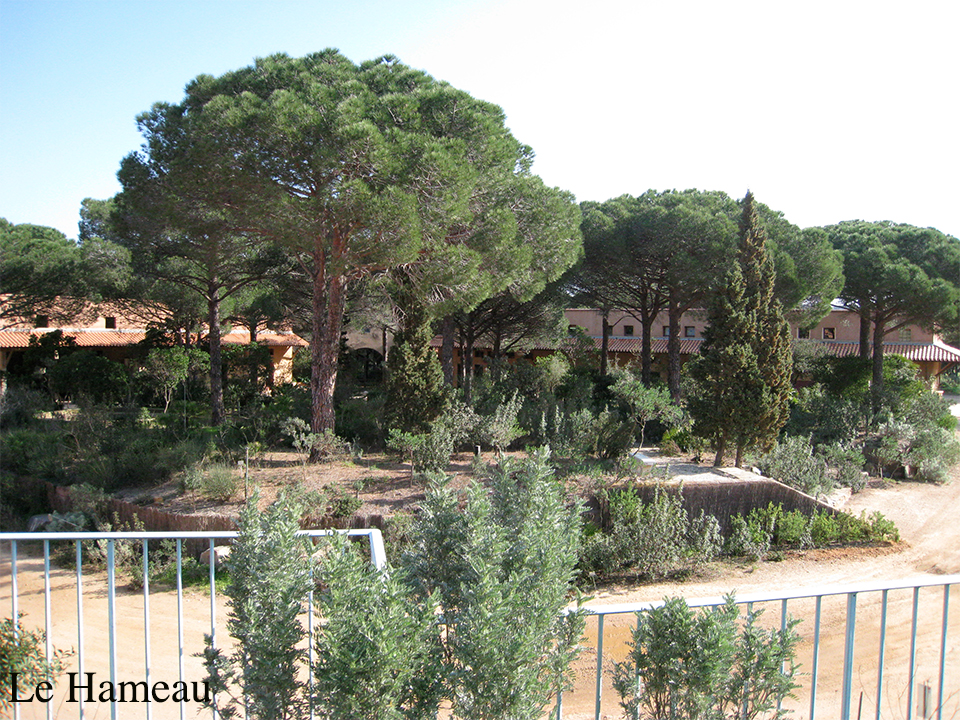
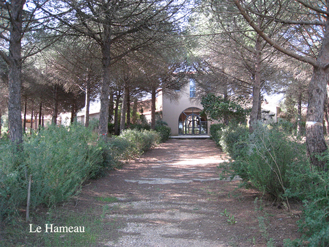
Le Hameau - Hamlet
Management of the French State’s private estates is entrusted to two organisms that are attached to the French Ministry for Environment – The National Park for the forests - the “Conservatoire Botanique National Méditerranéen” for the agricultural areas. Exhibitions between May and September.
The lighthouse
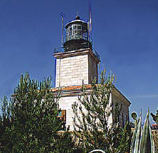
The Lighthouse offers a great view of the open sea. Built in 1837 its beam of light stands 82 metres above sea level. It can be seen from 54 kms away at sea.
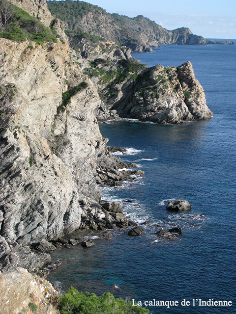
The Calanque de l'Indienne
Situated on the footpath that leads from the lighthouse to Grand Cale, you will see Bagaud, Port-Cros, Levant, and islet of Gabinière. Please be careful as the cliffs are very brittle. It was called Calanque de l’Indienne (Indian woman) because from the sea the rock bears some resemblance with the head of an Indian woman.
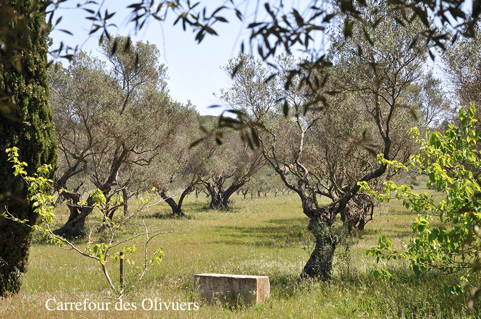
Le carrefour des Oliviers - Crossroad
Situated on the road to the lighthouse, at the exit to the village this place is ideal to take a rest. Its two other directions lead to the north/east or west of the island.
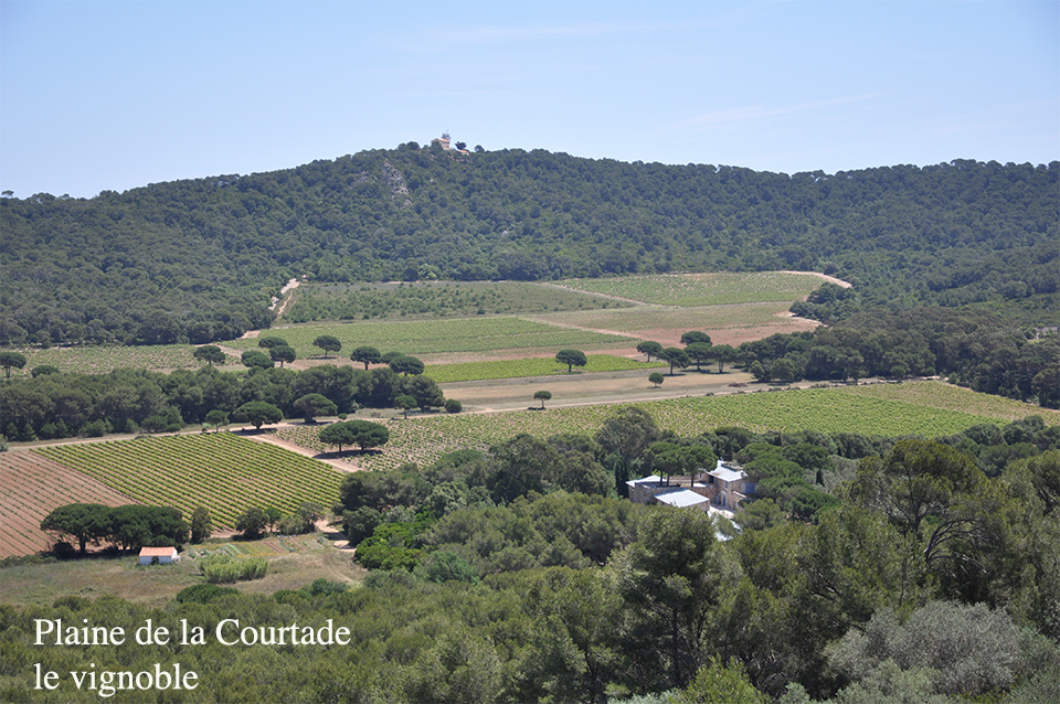
The vineyard
Three estates produce white, red, and rosé wines.
Domaine de l'Ile: Situated in the plain of Brégançonnet, this estate perpetuates the winemaking tradition of the former owners of the island. The family-owned vineyard has been producing wine since 1910.
La Courtade: Domaine created in 1983, tradition and authenticity are respected, using local varietals such as Mourvedre and Rolle.
Domaine Perzinsky: Situated a few minutes from the village, traditional know-how is applied here to produce the wines from the most southern terroir of the Provence region.
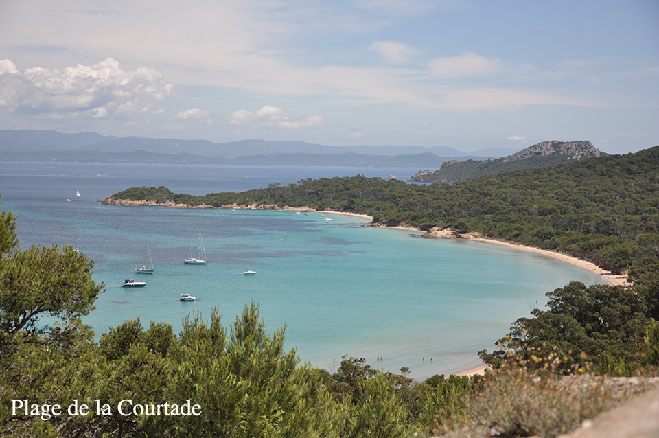
La Courtade beach
Situated only 10 minutes on foot from the village, when the Mistral wind is blowing it is a preferred spot for funboarders.
Facing the continent to the north west, the beach is lined with eucalyptus trees that progressively leave way to a pleasant pine forest.
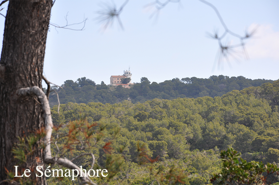
View of the Semaphore
Build on the highest point on the island (142 m), its main function is to monitor maritime traffic. But it also plays an important role for the safety of the island (detection of fires and identification of ships in need of assistance). The view encompasses the whole island, and, on the continent, it spans from Cape Lardier to Cape Sicié.
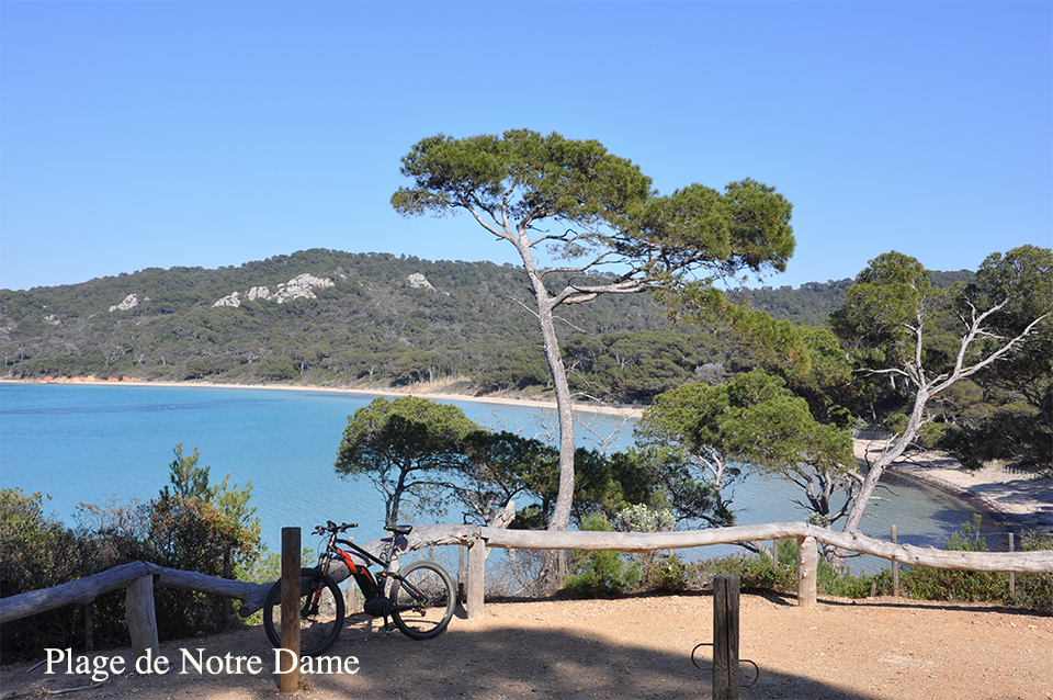
Notre Dame beach
This beach has the same orientation as la Courtade beach. A pine forest run along the entire length.
Nearly at the very end of the island, you will find it on your left. Just imagine some palm trees instead of pine trees and you have a Caribbean beach!
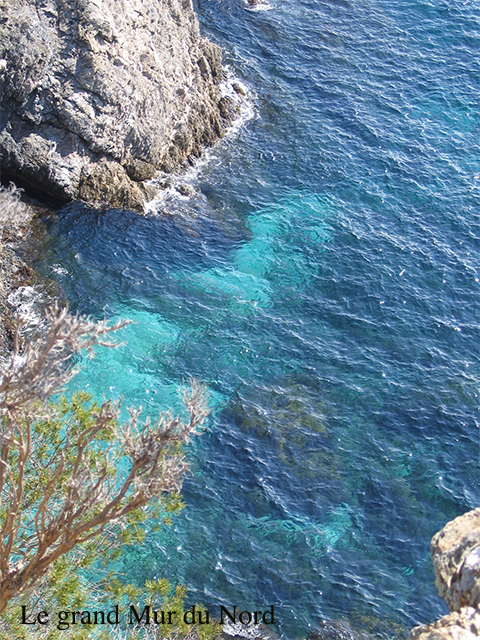
Great wall of the north
This part of the island has remained untouched. High cliffs facing north/east run the length of the coast here. Access by sea is only possible at Pointe de la Galère.
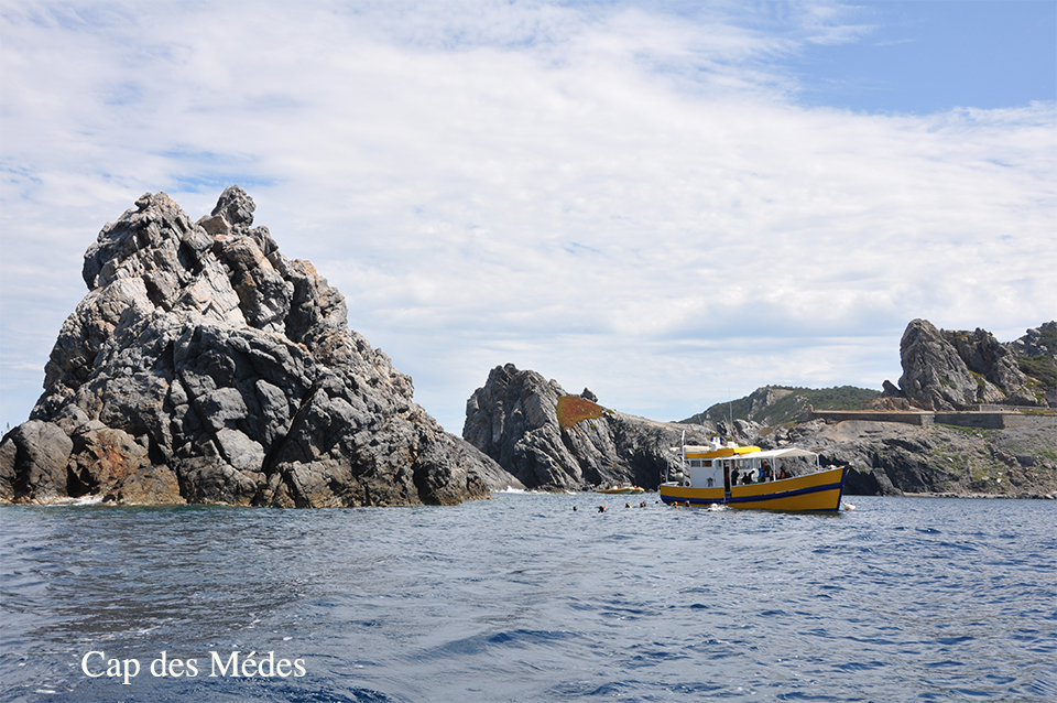
Cape Mèdes
Situated at the north/east end of the island, this area still belongs to the French military.
Please exert caution if you choose to go there.
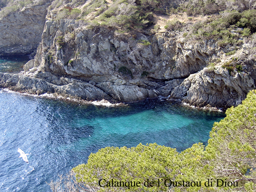
Calanque Oustaou di diou
With its pleasantly wild and preserved setting, nestled between two cliffs, this calanque is an invitation to go for swim. Oustaou de Diou means house of God and attests to the past presence of a chapel that was erected here.
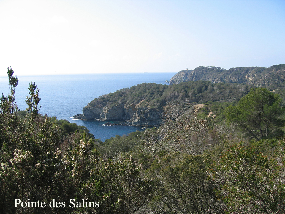
Pointe des Salins
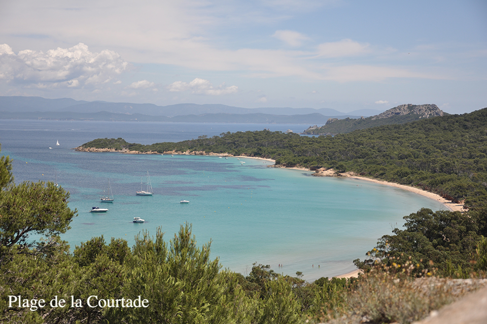
La Courtade Beach
Situated only 10 minutes on foot from the village, when the Mistral wind is blowing it is a preferred spot for funboarders.
Facing the continent to the north west, the beach is lined with eucalyptus trees that progressively leave way to a pleasant pine forest.
Petit Langoustier Fort
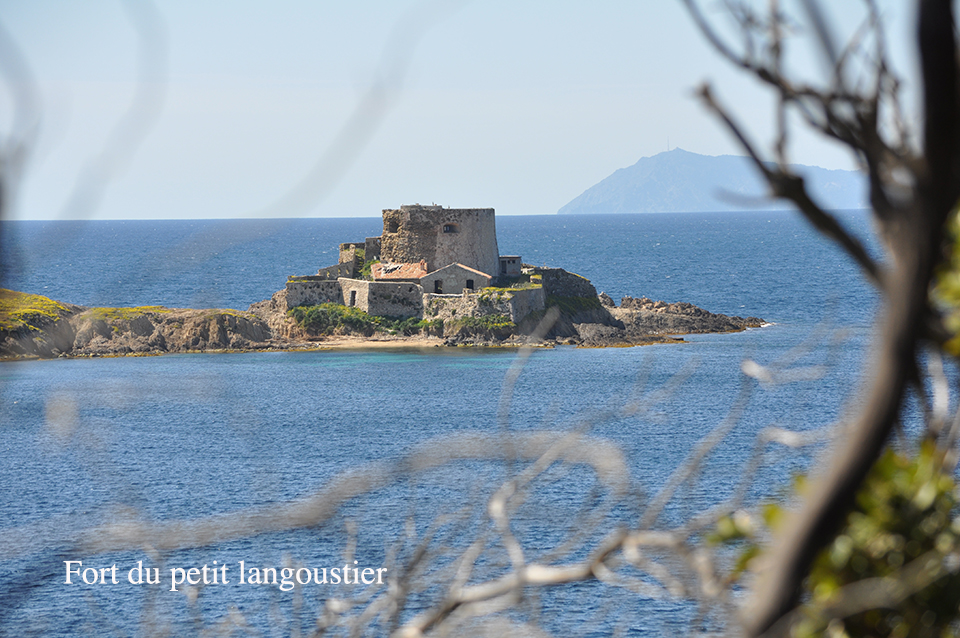
The construction of the fort is attributed to Richelieu. Standing on a small rocky island off the peninsula of Langoustier (point Sainte-Anne) at the western end of the island of Porquerolles, it faces the island of Grand Ribaud, from which it is separated by the 1750 m wide Petite Passe, which is the western access to the harbour of Hyères.
Calanque Brégançonnet
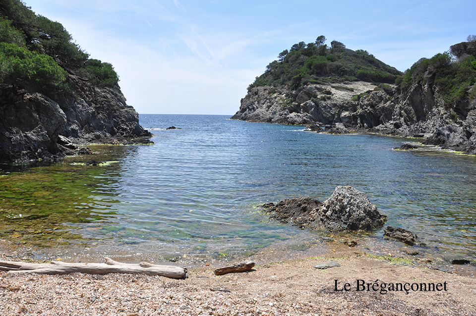
On the south west coast of the island of Porquerolles the calanque of Brégançonnet offers a preserved environment at the edge of a beautiful pine forest. With a mix of sand and pebbles the beach is ideal place to find peace and quiet. It is also a great spot for snorkelling and scuba diving.
Plage Argent - Silver Beach
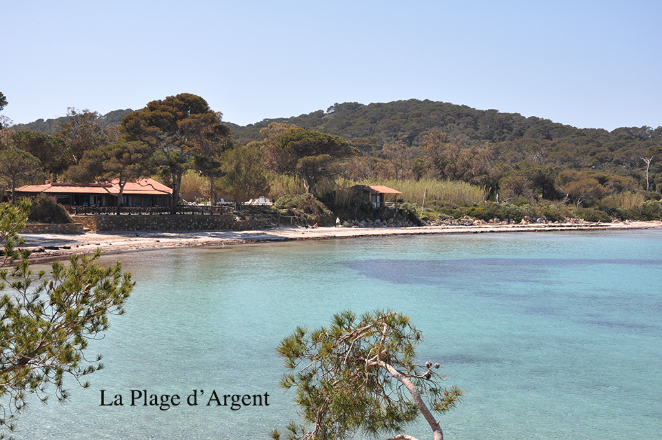
One of the most beautiful beaches on the island. Boasting shallow crystal-clear water, fine sand, a beach restaurant close by, lifeguards on duty during the summer season as well as a Tiralo (Amphibious Beach Wheelchair), it is the ideal beach for everyone. Distance from the village: 25 minutes on foot, 10 minutes by bike.
The Plain of Porquerolles
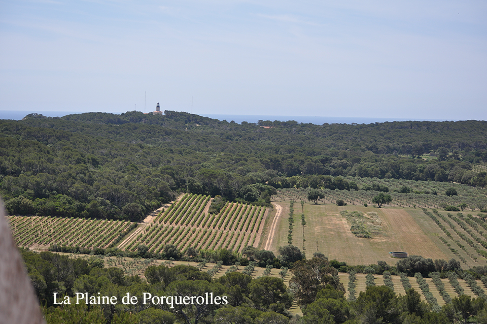
At the exit to the village, from the Carrefour des Oliviers, a gentle slope will lead you to the lighthouse of Porquerolles. The trail is lined with fruit trees from the Botanical Conservatory, they are grown according to the requirements and specifications of organic agriculture.
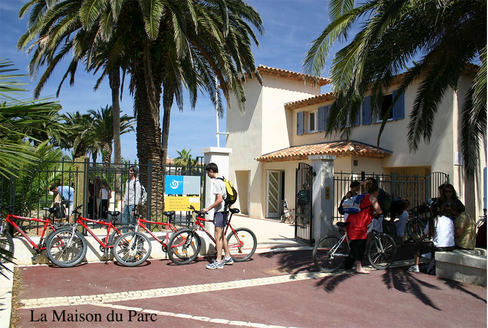
Maison du Parc
The Maison de Parc is the Port-Cros Parc National Tourist Information Centre on the island of Porquerolles.
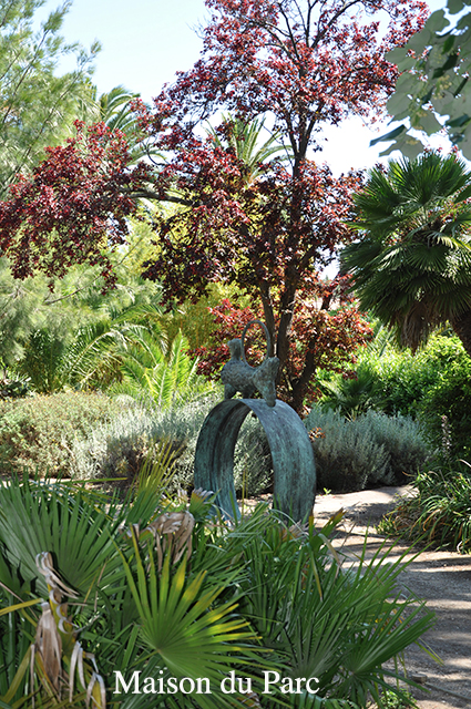
Emmanuelle Lopez Garden
The Emmanuel Lopez Garden that is adjacent to the Maison de Parc covers approximately one hectare. It features many plants typical to the Mediterranean climate.
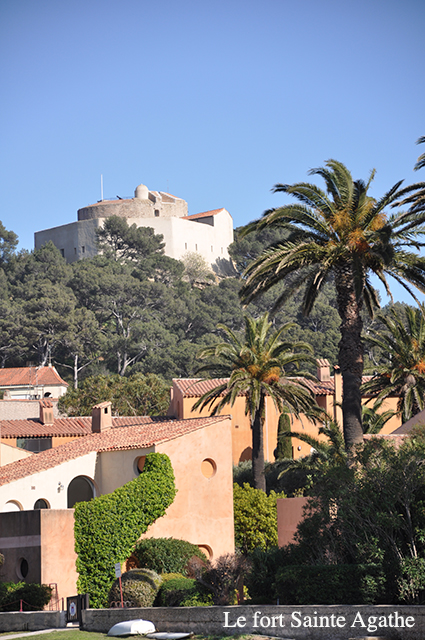
Fort Saint Agathe
The fort overlooks the village and offers a breath-taking viewpoint. It was undoubtedly the first military building on the island. It acquired the status of a fortress when François ler added a tower to the structure. Restored thanks to the Parc National of Port-Cros, it is now a place for cultural exchanges and exhibitions.
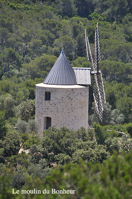
Moulin du Bonheur
Moulin du Bonheur - the Mill of Happiness – stands above the village of Porquerolles, behind the fort of Sainte Agathe. It was restored in 2007 on the ruins of a mill dating back to the 18th century and replicates the mechanisms of the cereal mills of Provence. Animations and demonstrations are held at the mill during the high season.
The Harbour - The Village
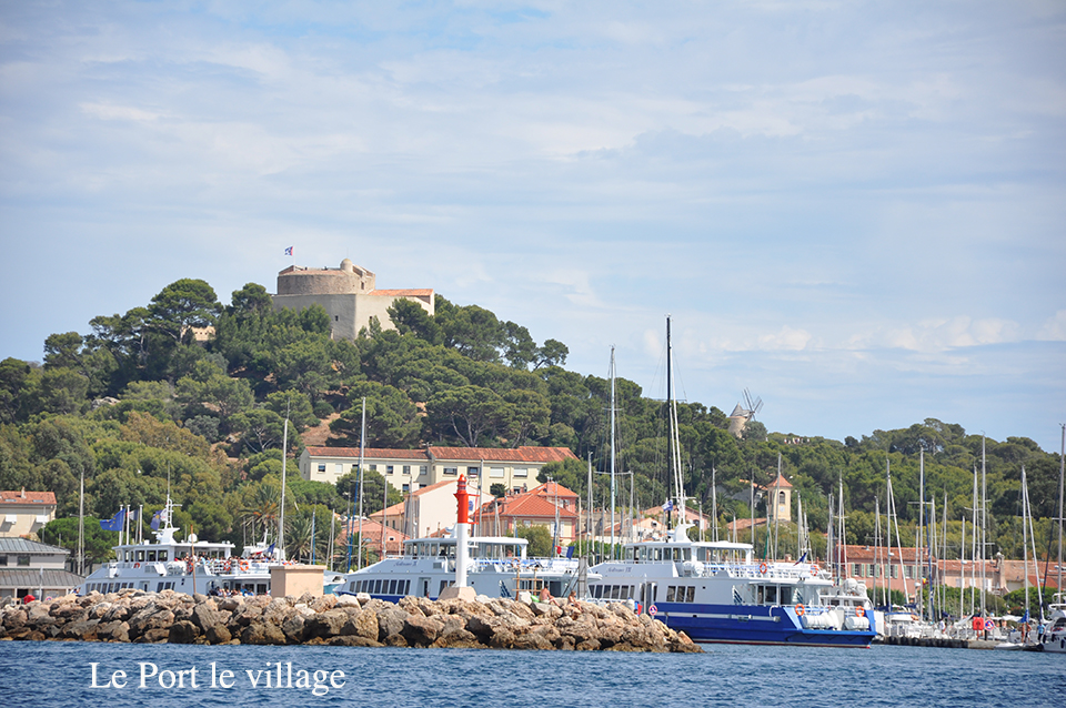
The harbour of Porquerolles is on the north coast of the island of Porquerolles, between Pointe de Maubousquet and Pointe Béarlieu. It is protected to the north by a riprap jetty. To the west, the rocky point of Maubousquet protects the central breakwater.
The village of Porquerolles was built in the 1840s for war veterans who were granted a nine-year concession. The origin of the village has left a colonial and military mark, including the Place d'Armes, a former military training area, that is planted with eucalyptus trees.
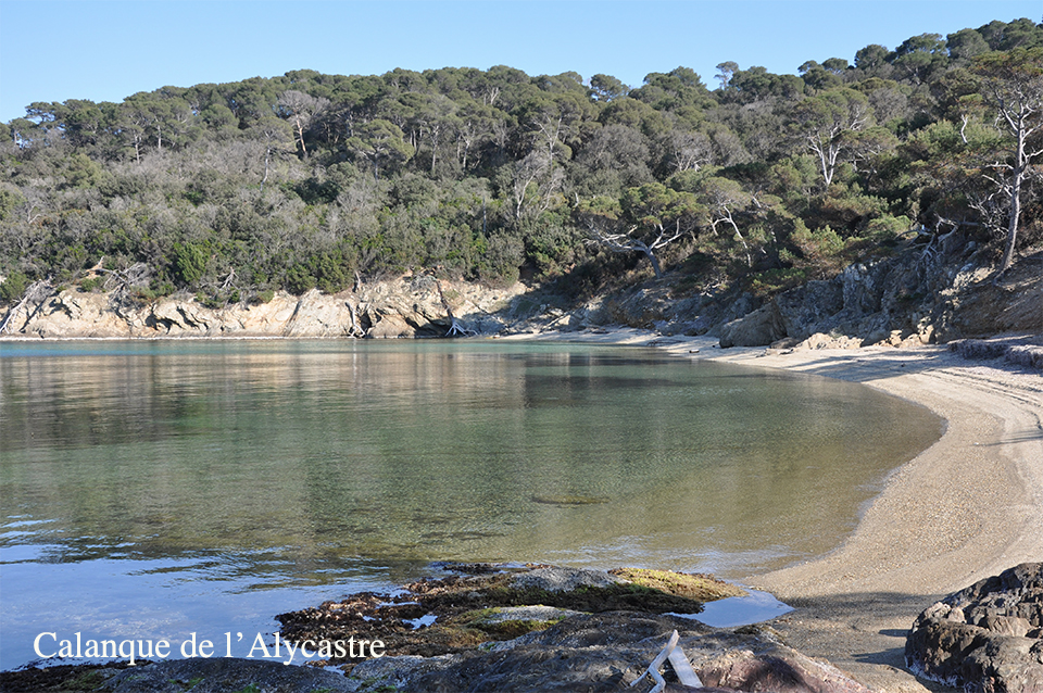
Alycastre Beach
Alycastre beach is found on the north coast of the island of Porquerolles, between the beaches of Courtade and Notre-Dame. This pleasant beach is at the foot of Alycastre Fort and is sheltered from the Mistral and strong gusts that come in from the east.
